Tuesday, January 31, 2023

The West Coast is supposed to be wet right?

My third annual PRANZ meetup in 3 years! I wasn't supposed to be at this one, but after my accident delayed my plans of heading back to Japan this summer, I signed up to go paddling again. Only problem being that I didn't actually have a fully healed arm. Oh, and there was a serious lack of water in all those west coast rivers....

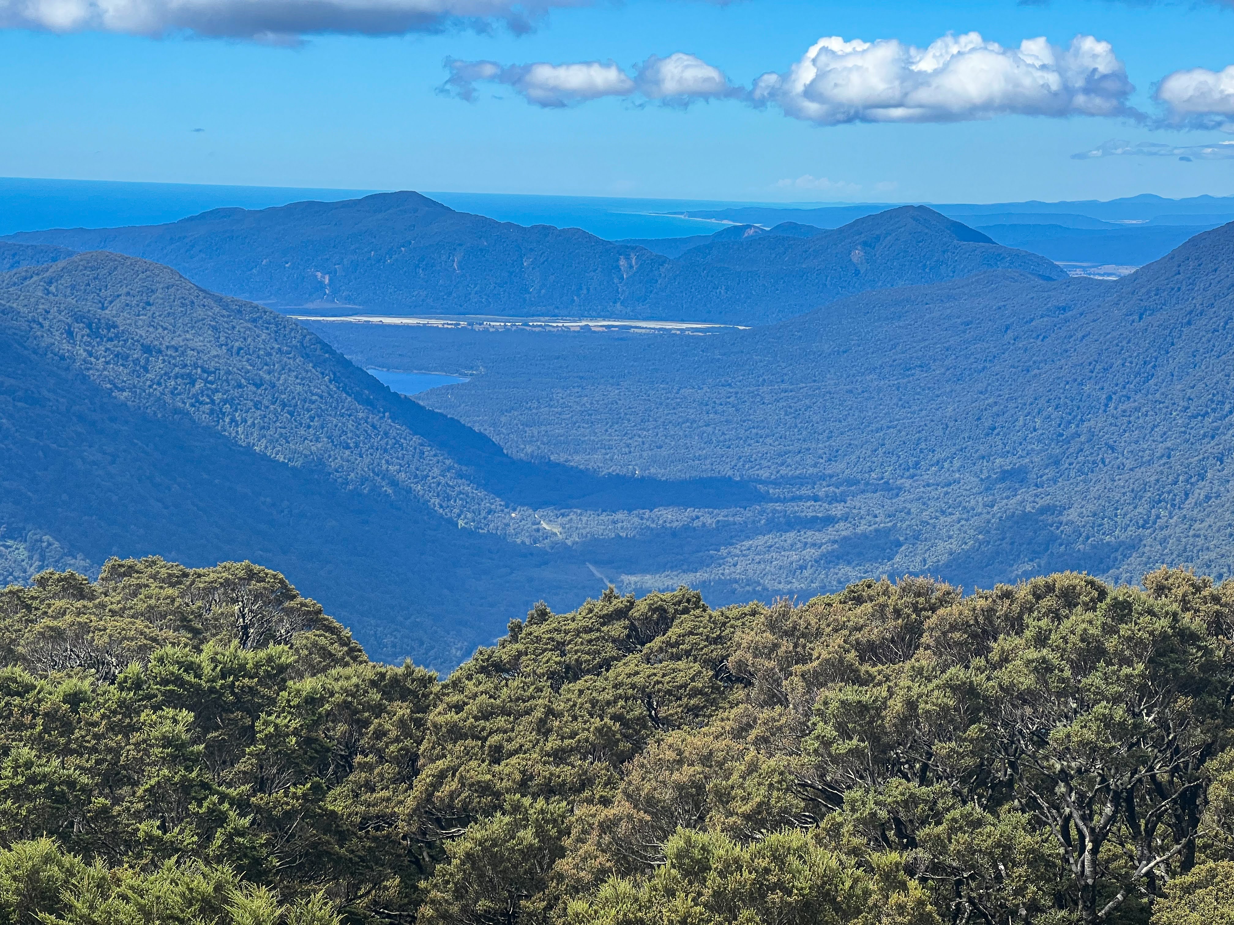
Everyone had been so excited about a West Coast venue, because the rivers generally pack a punch. With high rainfall and relatively short valleys compared to the east coast braided rivers they are exciting to run, with many different grades of rapids to choose from.

However, this summer was the driest on record. Whilst the North Island fielded extreme weather event after another, received record flooding and so many slips, the South Island bathed in sunshine for months on end. Great tramping opportunities, but not so good for a motley crew of pack rafters!

I'd declined offers to do some paddling with others before the meetup, because my priority was getting tramping fit. The Moeraki trip was the first time I reached that milestone of feeling joy rather than struggle when tramping. It can only get better from here...

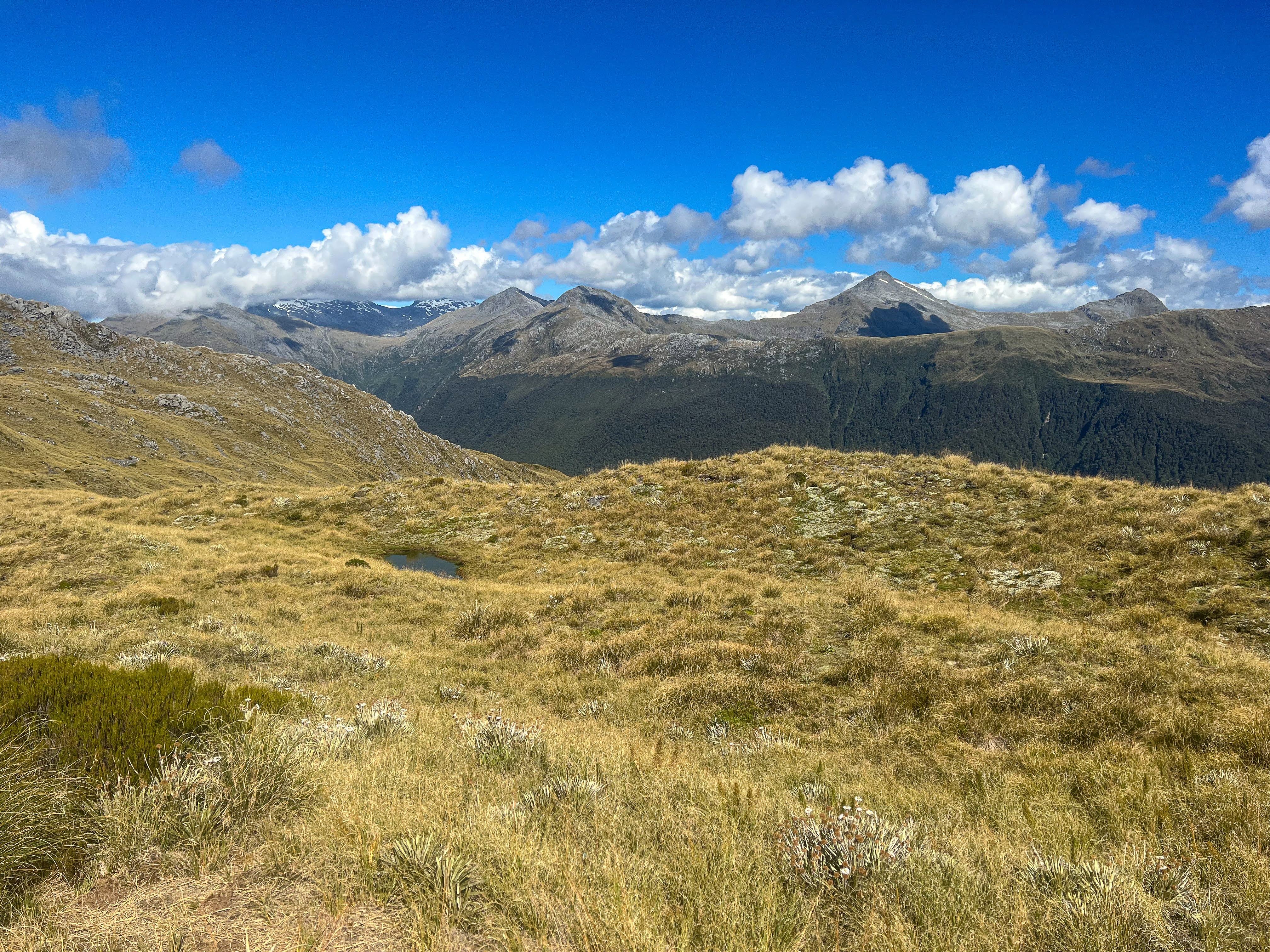
I did go for a paddle on Lake Mapourika north of Franz Josef though. Just to check for leaks, and to get some very nice views of the mountains from the glassy lake.


I arrived in Reefton a day early, but the venue wasn't yet ready for our crew, so we all mucked in to clean the toilets and prepare the rooms for the 70 odd people attending. We were staying at a community centre which had never hosted such a large group, so the volunteers were struggling a little. Sheralee and Rachel took charge, divided up the chores, and by lunchtime Thursday we were ready for welcoming PRANZ members to the meetup.

In the afternoon we headed down to the Inangahua River for a safety briefing. I needed help to get back into my boat from the water, but I was glad to see I was perfectly capable of performing a buddy rescue. I didn't want to be a liability..

With my forearm fracture not yet healed I had no intention of going hard at the meetup, planning to only paddle Grade 2 rapids. My biggest concern would be the portages, as walking over slippery river rocks covered in didymo carries a fair risk of falling, and I can't afford that!!

None of the rivers near Reefton had enough water in them to run, so our options meant long drives and shuttles, and very long days. On the Friday I elected to paddle the Grey River, taking the lower put in at Staircase Creek to avoid the upper grade 3 section from McVicars. By the time we had completed the shuttles and walked in 45 minutes to the put in, most of the paddlers had already paddled the Grade 3 section and were ahead of us!

The paddle downriver was fairly cruisy, with no particularly exciting rapids. It was slow going and we were all pretty tired from paddling by the time we got to the take out off Waipuna Road. We heard that the upper section had been pretty mellow, Grade 2 at most.


The Grey River paddling groups were first back to Reefton, the group who paddled the Taipo not too far behind us. But the group who had paddled the Maruia River didn't get back until after 8pm! That caused a few hiccups with the catering!

In the evenings we had some great talks. Friday night we had an excellent presentation from Dean Parker, who not only screened his latest bike rafting video but gave a great demonstration of how you strap your bike to your raft. A few people had brought their bikes, and signed up to do a short section of the Grey again on Saturday, but this time with bikes as well.

I was thrilled to have a chat with Dean, as his film at the Mountain Film Festival a few years ago was the first time I had seen a packraft, and from then on I was hooked. He was just as thrilled to know he had been my inspiration into the sport.

Here's a video Dean put together of the meetup. 

Saturday a tiny group of three: Stu, John Mackay and I, went and paddled a small section of the Buller. This was advertised as a Grade 1-2 paddle and hadn't had many takers but Stu kindly offered to lead it so the trip went ahead. The put on was near the lime-works, but Rachael had given me completely wrong directions. After spending a good 40 minutes trying to find the put in downstream of the lime-works, involving jumping fences and trying to find a path through impenetrable blackberry bushes, we drove up to the nearby Buller swing bridge and asked there. Turns out the put in was upstream of the lime-works! Once found we drove back to the take out and marked the spot on the river edge by leaving something tied onto a rock, and also GPS tagged it. There's a lot of palaver involved in doing a roadside run when none of us have run it before.


Back at the put in we inflated our rafts, did our safety briefing then hit the river. It was a lovely stretch of narrow gorge with some quite pushy rapids, requiring considerably more attention than yesterday's paddling on the Grey. On the first rapid Stu tipped out! He paid attention after that!

cruising with a couple of paddling legends

It only took us an hour to lazily paddle down to the takeout, including some playing on some of the rapids working on eddying in and out and ferry gliding. We had enough time to run it again, but John was giving a talk that evening on his paddling history on makeshift rafts in the 1970s, so he wanted to get back early to prepare. By the time the other groups got back we'd managed to wash and fully dry all our gear!!

John's evening talk was a hoot. John, after surviving some pretty gnarly descents in a raft made from tying car inner tubes together,  went on to be instrumental in saving some NZ wild rivers from being dammed. This weekend was his first time paddling a modern packraft!

Over the last week my drysuit wrist gaskets had been tearing every time I wore the suit. I'd used some duct tape to stop too much water getting in, but that would be useless in the event of a swim. Sunday the options were limited to the Taipo (much colder water where a swim would be less pleasant) or the Earthquake Rapid on the Buller, which was Grade 3. I decided to run neither and instead head up to Murchison to get my gaskets replaced at the NZ Kayak School. I booked in to the local motor camp, did my laundry and caught up on some much needed sleep.

Quite a few of the crew turned up at Murchison that evening, with plans to do more paddling in the region. I was still keen to pack in a little more tramping before heading to Australia, so, after picking up my repaired drysuit, I headed back to Wanaka. Via a soak in the hot pools at Maruia Springs and a short visit to Helenski near Lyttleton.

the view from Chateau Helenski's deck

Let's see how many trips I can get in. That's next!

Tuesday, January 24, 2023

West Coast Hidden Gem - Mataketake Range and Moeraki Valley

A few years ago I walked the much underrated Haast Paringa Cattle Track and was blown away by the healthy birdlife, the slight terror of walking through the Alpine Fault, and a close encounter with a young buck. The track is now impassable south of Maori Saddle Hut after a slip at what was already a gnarly crossing of Chasm Creek, but the northern section is now seeing more traffic after a new hut was built up on the Matakitake Range.

This was the crossing at Chasm Creek 5 years ago, a slip has made it no longer passable. It was scary enough then!

Since I hadn't visited this hut, or the Range, I booked a couple of nights and headed off along the track from the highway to the swing bridge over the river, then along the cattle track. The advertised track times on the DOC signs were incredibly inaccurate, it taking me well less than 3 hours to the Mica Mine track. I also note my walking times were considerably less than when I walked it 5 years ago. Maybe my fitness isn't too bad at all...


Really low river levels


Mica Mine turnoff. It took me 2 hrs 20 minutes to this sign, not the 4.5 hours advertised

With the weather looking good I opted to climb the Mica Mine track, which zigzags steadily up until it breaks out above the treeline and takes a much more direct line up a ridge to the tops. The track is well maintained and easy to follow, and once on the tops the marker poles are fairly closely spaced. There's also a well worn footpad that you could probably follow even in a whiteout. Though why would you bother if there's no view...

The hut and track is so new it is yet to be marked on topomaps. I took this photo from some trampers' map that I met on their descent of the track.

Looking up to the ridgeline from the edge of the forest

Luckily for me the views were stupendous. Many of the tarns were dry or much reduced, and the going was pretty straightforward in good visibility. Not a cloud in the sky!!

Looking north: Lake Paringa peaking out, Bruce Bay in far background

Wild West coast

Looking inland up the Moeraki Valley

Looking east across the Thomas Range


some tarns had dried up completely

Alpine daisies


can you see the marker pole?

I spy.... a hut!

Mataketake Hut sits facing the west coast, but nestled behind Pt 1292 such that the sun drops behind the hill before sunset. There's a nearby tarn for a swim, but the temperature had dropped so I wasn't tempted. Late in the day a couple arrived, having also walked along the tops.


Aoraki peaking up in the last of the sun's rays

Sunset behind this hill, swimming tarns in foreground

The next morning two young Kea were checking me out whilst I visited the loo. They were curious yet hesitant, not yet displaying the cheeky mischievousness they are renowned for.

You can tell it's juvenile because the beak and nostrils are yet to darken to black. These individuals are probably 18 months to 2 years old

Curious, cute, and very healthy looking

approaching storm

The couple left in the approaching bad weather, heading down off the tops to Maori Saddle and the more sheltered cattle track. I settled in to read a book. The hut was built using a bequest from a chap named Andy Dennis, and contains a library of his books. I would have happily spent the day exploring the tops, but the wind was howling and it was raining cats and dogs! Best stick with the book....

During the day a couple of chaps turned up looking very wet and bedraggled, but surprisingly chirpy. The hut being a new build was well insulated and double glazed, so despite the miserable weather outside it was warm inside and there was no need to light the fire. I drank more cups of tea, chatted, and kept reading. I had to finish the book before I left!

The next morning the bad weather had cleared completely. I decided to go down the track to Maori Saddle as I wanted to at least see the views south over Lake Dime that I hadn't been able to explore due to the bad weather.

Sunrise. Another clear day ahead

View south over Lake Dime

The track down was steep and in much worse condition than the Mica Mine track. After climbing over a tree fall I lost the track completely, and since the route is not yet marked on any Topo maps I had no way of knowing whether it was to my left or right. So I made my way down through the bush, following whatever animal tracks I could find, to intersect with the benched cattle track. Turns out the track was to my right!!

Down this ridge to the tree line

Just into the forest (looking up the way I've come)

that bit was clearly marked...

Back on the cattle track it was fairly easy going, though the benched track has suffered from a few slips in places. The streams were up after the rain, but not enough to make crossings at all hazardous. 


I arrived at Blowfly Hut early afternoon and decided to call it a day. I stripped off and went for a lovely swim in the river, and later that afternoon a couple of other parties turned up at the hut. It was almost a full house!

Blowfly Hut

Day 4 and another pearler. After crossing the swing bridge I turned right and headed up the Moeraki River towards Horseshoe Flats. The first section was very up and down and took me a lot longer than I expected, but the lush west coast greenery made up for the slow going. I even surprised a couple of Whio when crossing a stream.

turn right to head up the valley


so many different lichens and ferns


With the dry weather the normally swampy flats were really easy walking and I got to Horseshoe Flats Hut for an early lunch. A nicely appointed hut near the river, but I didn't linger long..


Horseshoe Flats Hut

After crossing the river the track climbed higher up the valley, before crossing the river again to arrive at Middle Head Hut. This hut was rather musty and not quite as inviting as Horseshoe Flats Hut, but it was better than a tent. I claimed a bunk and then set off up the track to view the glacial cirque at the head of the valley.


sometimes the track is the river...

side stream entering Moeraki River

the track crosses this spectacular cascade

crossing the Moeraki, view up the southern branch

same spot, long exposure

zoomed view of the head of the valley up the south branch

Middle Head Hut, could do with a bit of scrub clearing....

There's a substantial rock bivy on the track, but the main drawcard is the sheer cliffs of this glacial cirque. Well worth the effort.

This is actually a pretty good bivy, but I'll take the hut thanks...

plenty of room, and a fireplace!


Back at the hut I went down to the river to fill up my water bladders and returned to see two old blokes stumble out of the bush looking pretty spent. Another hut I don't get to myself!

Doug and Ray (from Karitane and Waikouaiti respectively) had just walked a very tough 10 day route up the Paringa River, over into the Clarke and then back over to the Moeraki. There had originally been 3 in the party, but one had bailed and called up a chopper to exit the wilderness. Ray was buggered, and Doug wasn't much better. I offered to give them a lift back to their car the next day. Doug knew it would be up to him to ride the mountain bike they had stashed in the bushes back up the highway to the Paringa and he wasn't looking forward to it.  

The next morning the three of us walked back down the valley to my car, ambling along and spying the many huge trout, and an even bigger eel, in the larger pools. I was also impressed by the healthy birdlife, with lots of kereru higher up the valley, and another set of Whio flushed from a hidey hole next to the track as we passed. Those ones actually whistled, the first time I'd heard that!!


We left Ray at the carpark to fish out the mountain bike from it's hiding place and I drove Doug north to pick up his car parked at the salmon farm before continuing on to Franz Josef. 

Next stop Reefton, and some packrafting. That's next..