Monday, January 16, 2023

Mavora Bikepacking

 If you are going to walk along a 4WD track, why not bike it instead? Ideally, you'd want a mountain bike, but if all you have is a gravel bike, now serviced and upgraded to thicker beefier 40mm tyres, well that's what you pack up and head off with.

This trip was really an excuse to go hutbagging, and to work on my fitness by getting my heart rate up considerably higher than it gets tramping. And also to fine-tune packing my bike.

My Cannondale gravel bike has two bolt holes on the front forks that don't seem to fit any cage whatsoever, but when trawling the internet I found someone else had solved the problem by drilling an extra hole in some Blackburn cages and Bob's your uncle. I already had those cages so I made short work of it and soon had two extra places to load gear. Since they are front forks I put 500g loads on each side ( a tarp and my helinox chair respectively) which freed up some space in the other bags. It's still pretty tight fitting everything into bike packing bags but for only an overnight trip I don't need to carry much food.

I drove down to Mavora Lakes and parked at the campsite at North Mavora Lakes, loaded the bike and set off along the 4WD track. The thicker tyres made short work of the sandy track, but my fitness meant I still needed to walk up some of the hills. It was a hot day with little wind, and aside from passing a few trampers I saw few people all day.


I stopped in at Carey's Hut for a late lunch before walking up the steep hill to then cruise down and along to Boundary Hut, where I planned to spend the night. 


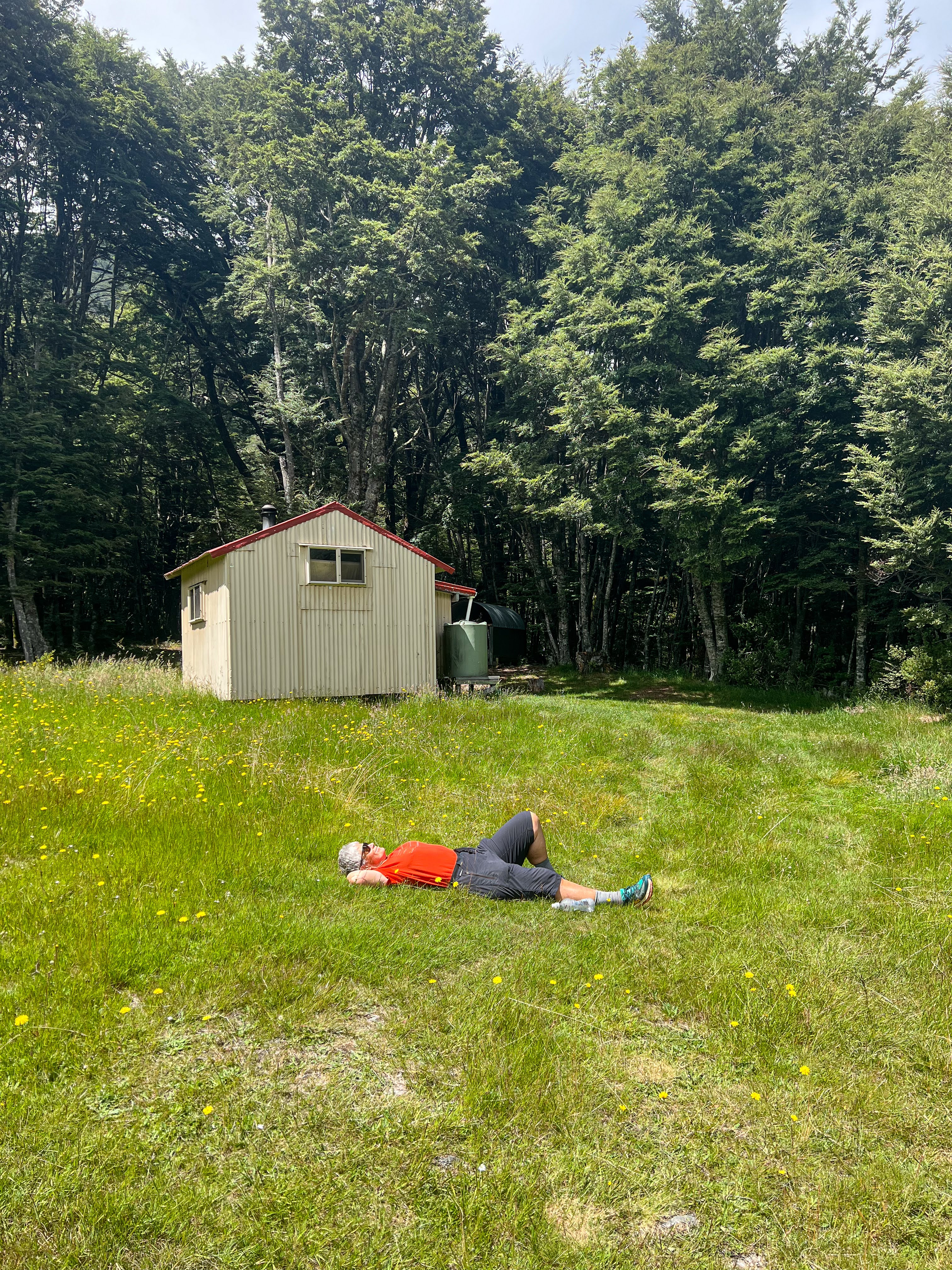
There was no-one else there, so after claiming a mattress I headed off up the valley on foot to bag one more private hut before returning to Boundary for a quick dip, dinner and bed.

Picturesque Mavora River just near Boundary Hut

Looking downriver towards North Mavora Lake, Boundary Hut on left

Looking up the Mavora Valley, this is private land, with cattle grazing

Private Hut at Bush Creek, lovely stream nearby

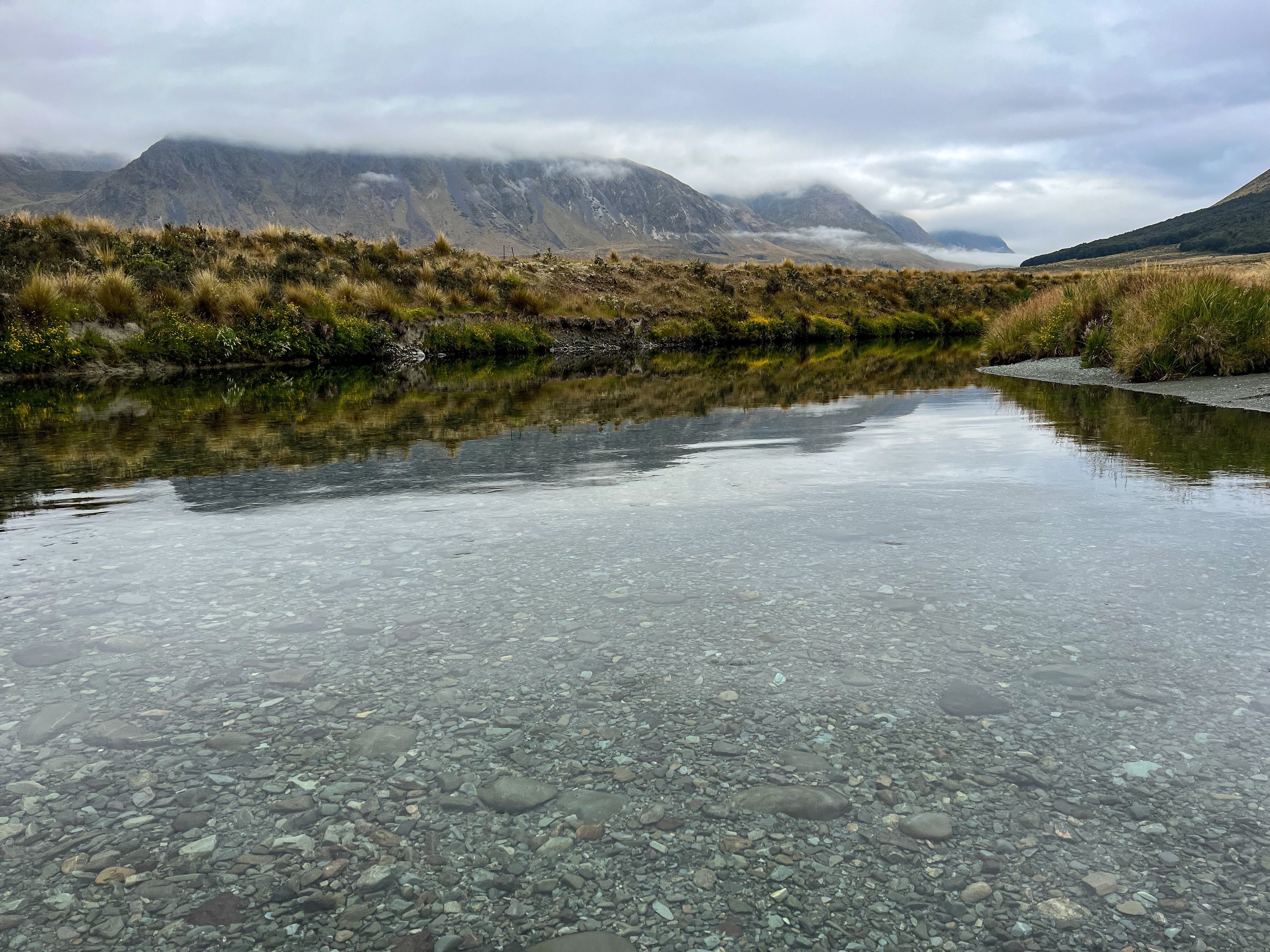
These rugged landscapes show you how glaciers scour out valleys

The next morning I retraced my route a couple of kms before veering off to visit Forks hut. That required crossing both the Mavora River and the picturesque Winton Burn and following a rough 4WD track up valley.

Moody morning crossing the Mavora

I soon realised I'd be hike a biking more than I'd be riding, so I ditched the bike behind some tussocks and continued to the hut on foot. A lovely wee spot for a cuppa and snack before returning to the bike and rolling back down to the main track. 


Ditched the bike somewhere around here

Forks Hut


Back across the two rivers...

Winton Burn

Mavora

By the time I got back to Carey's Hut I was so hot I walked straight into the lake fully clothed. What a relief!!

I had a late lunch, chatting to a TA walker having a siesta, then discovered my front tyre was almost flat. After pumping it up I couldn't find the leak so decided to push on. The tyre kept leaking despite being tubeless with sealant inside, and I just stopped from time to time to pump it up again. After the second or third time a couple in a 4WD stopped and offered me a lift, so I took it. The day was too hot for heroics, and I'd already cycled the same road on the way in.

Back at the car I still couldn't find the leak and since I'd forgotten to bring the magic can of BAM, I decided to cancel the second portion of my hutbagging bike packing trip and just knock off one of the huts along the Mt Nicholas Rd. This one had been a checkpoint on last year's Godzone and was a cute historic hut made of wood slabs.


Trip aborted I headed back home to Wanaka. Hutbagging count for this trip 5, and over 350 in total. Not bad effort in five years!


Sunday, January 15, 2023

Hopkins by Packraft

This trip had many goals. Firstly, to walk up to the head of the Hopkins Valley to check out the scenery. It borders Aoraki National Park so it's big peaks and glaciers. Secondly, to bag the huts up the Hopkins Valley as my last trip I'd headed up the Huxley to Brodrick Hut and Valley, and only visited the two huts in the lower Hopkins Valley. Thirdly, it was touted as a Grade 1-2 river run in normal flows so the opportunity to float back out rather than walk seemed very appealing. Finally, carrying the extra weight of my packrafting kit as well as tramping gear would easily replicate the load I would need to carry on my upcoming trip in Australia in March, and I needed to see if I could handle it.

I asked Jude if she wanted to join me, so we met at Tarras and continued on in my car, over the Lindis Pass, past Lake Ohau and on up the Hopkins Valley. It's a long drive in.

Luckily the 4WD track in to Monument Hut had recently had a makeover and so we were able to easily drive my Subaru almost the whole way in. We got to a spot that still seemed a bit too soft and muddy so decided to park up and walk the final km. Our parking spot was very close to the river so we would almost certainly be able to paddle right back to the car.

Loaded up we began our tramp. Along the 4WD track to the hut, and then along the tramping track to cross the Huxley swing bridge before breaking out onto another 4WD track heading up the true right of the Hopkins River.

The walking was fairly easy, but up ahead we got bluffed out and tried to find the walking track marked on the topomaps. This track was supposed to be in the beech forest but despite finding a few orange triangles we couldn't find any way through the impenetrable bush. After an hour or so of unsuccessful bushbashing and Jude finding a pair of sunglasses lost by another person trying to make their way through that piece of bush, we backtracked to the river and looked for a suitable crossing.

An easy creek crossing

We had already scoped out potential crossing options, but couldn't find any that we thought safe to walk across. So we inflated our packrafts and ferry glided across! The river wasn't actually all that deep, but the current was quite strong...

Getting ready to cross the river after being bluffed/ bushbashed out

Rafts deflated and back in our bags we continued upriver, arriving at Elcho Hut to find it occupied by three lads from Hawkes Bay on a week long hunting trip. One of them told us the Elcho Stream was difficult to cross so we began heading over to have a look but I was feeling weary so we decided to leave that problem until the next day and stay at Elcho Hut for the night.

It's a long valley, and much of it was this easy

The occasional waterfall coming from the cloud shrouded peaks

Elcho Hut

The next morning we made an easy crossing of Elcho Stream by foot and walked up to Cullers Hut to take a peek. If I'd had the energy it would have been a nicer hut to stay in, but we were already well behind schedule as the original plan had been to make Dodger Hut on the first day and then do a day trip further up the valley.

Cullers Hut

We continued upstream on the true right until we got bluffed out again and needed to cross to the true left anyway to get to Dodger Hut. Above us was a rapid that in no possible scenario could be considered a Grade 2, so we made the decision to cross below it in our packrafts. That crossing was deeper, but the current not as strong. Now on the true left we let some air out of the rafts, secured them on the river bank and headed upstream to Dodger Hut.

The river swirls around that big rock then drops into a hole with another large rock just below the surface. We crossed below the rapid and above some long wave trains

We had made the decision that we weren't going to run the Grade 3 rapid, not least because we hadn't brought helmets or throw ropes, so the rafts didn't need to go further up the valley. We also knew we didn't have time to explore higher up, so we just ambled up to Dodger, had lunch in the sun, and then walked back to our boats.

Dodger Hut, next time we'll drive here


We tempered the boats and began our descent of the Hopkins. It started off pretty spicy with a couple of meaty wave trains, requiring some stops to empty our bucket boats, and then became a series of gentle Grade 1 rapids and braids. 


The clouds that had hung around the mountains for the last 24 hours lifted and we were treated to some wonderful vistas of the surrounding peaks. We could see all the way up the valley, and as we descended we got great views of Dasler Pinnacles.


There was just enough water for us not to need to get out of our boats on the braided shingle more than a couple of times, until we reached Monument Hut. There we stopped to try and help a jet boater who had run aground, to no avail, so we continued our float downstream to the car. A simple drag of the boats about 10 metres from the riverbank over a grassy knoll had us deflating our boats right next to the car.

He missed the correct braid to take (about where this picture is taken from) and realised too late


On the drive out we saw that the jet boater had been rescued by another two boats, and we decided that next time we'd take Jude's 4WD up the valley to Dodger and walk from there.

Not a bad trip, not all goals achieved, and although carrying the extra load had been tiring, I'd felt fine on Day 2 and hadn't experienced any back pain at all. I'm feeling that my rehab is progressing well.

What next?