Talk to any person who has walked the
Te Araroa, and almost all of them will cite the Richmond Ranges as one of the most memorable sections of their walk. Sometimes because of its spectacular alpine ridge walking and myriad huts, sometimes because they simply survived it, but it's considered to be one of the hardest sections of the entire route from Cape Reinga to Bluff.
It's a long section without access to supplies, so you need to be well stocked with food. And almost all of the route is exposed alpine ridges, so it's susceptible to miserable weather, including high winds and fogs. There's also very little available water on much of the route.
I wasn't fazed by the hype, especially as I planned to walk the route in forecasted good weather. Assuming the weather algorithms could actually be correct for the full 6-7 days I planned to take for the crossing. Since I'd already walked
a loop along the Pelorus River and back via Browning and Rocks Huts a few years ago, my tramp would start near St Arnaud and finish at the end of the Hackett Track on Aniseed Valley Road.
One of my packrafting mates lives in Wakefield, so I hit him up for accommodation and a ride to the start of the track just off the SH63 east of St Arnaud. He would pick me up at the track end a week later. Since I had my Inreach I would be able to contact him to arrange a pickup time, and to confirm which day I would arrive. I made sure to bring some extra food in case of delays due to bad weather.
Day 1 Road end to Red Hills Hut 2 hours
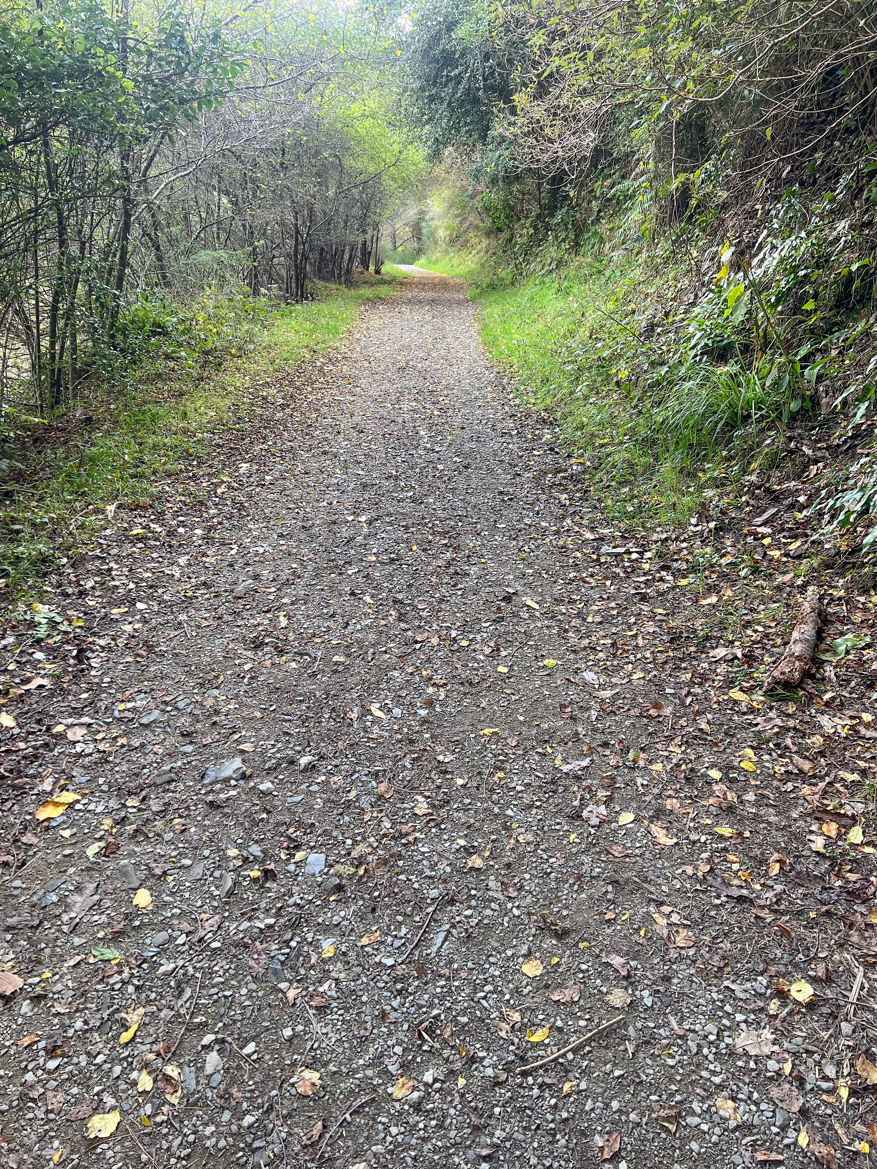
Red Hills Hut to Porters Creek Hut 10.5km, 5.5 hours
Brendon and I headed off a bit before 8am for the one hour drive from Wakefield to the track end at 6 Mile Creek. There's a carpark there so I was able to pull in off the highway and get my boots on, setting off around 9:15. Brendon took my car back to Wakefield for me.
The walk up to Red Hills was initially on a single track through beech forest but then joined a shingle 4WD track for most of the climb up to the saddle. The hut was in an awesome location, in the sun, looking across some boggy ground to the Red Hills. I stopped to sign the book then continued on.
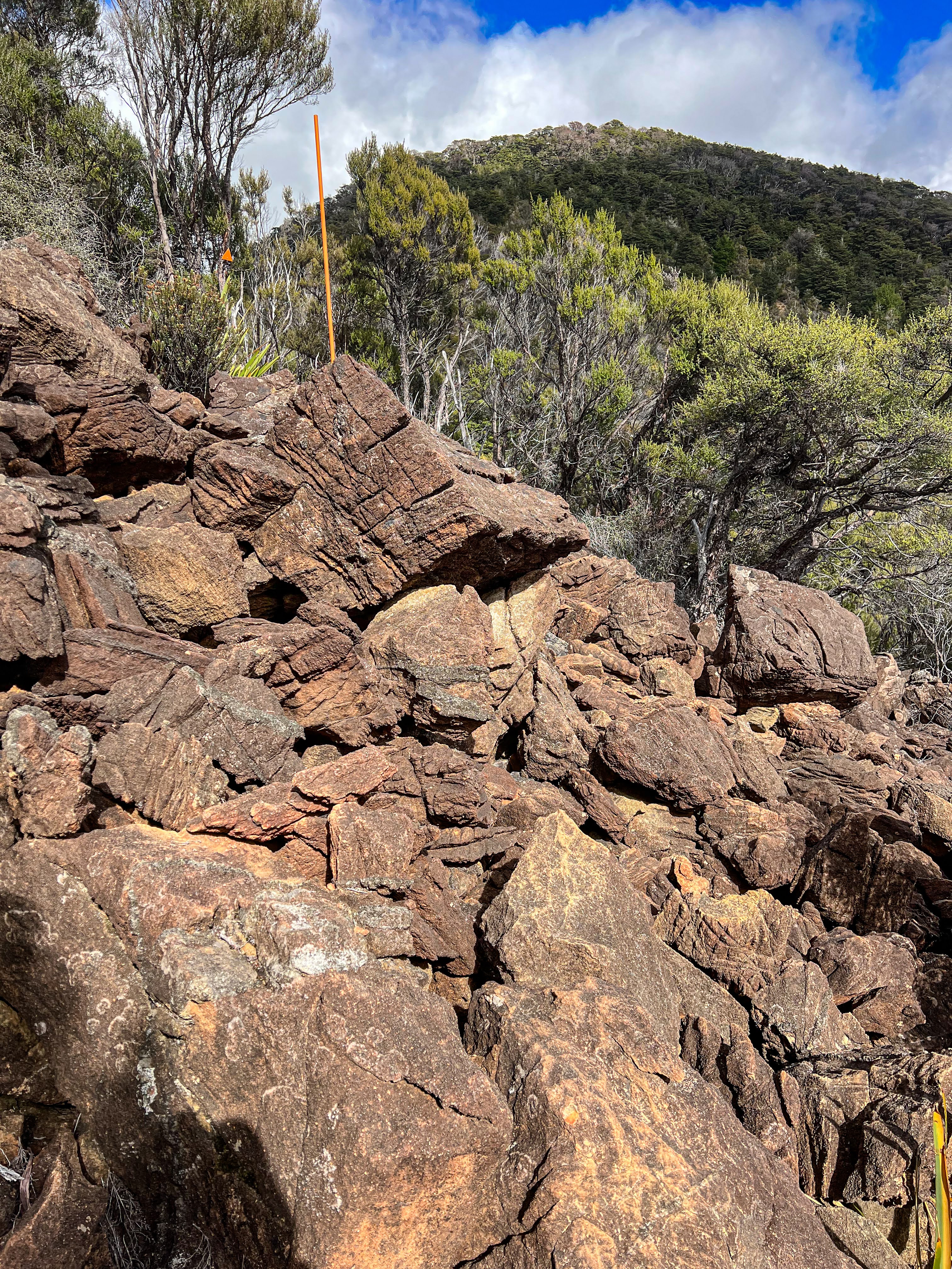
Once I got to the top of the ridge the track disappeared straight into a lovely moist beech forest and the temperature plummeted a good five degrees which was extremely welcome. The descent was fairly steep down to a boulder strewn river which required walking up within the river bed. Stone hopping isn't a favourite with me. At last the poles indicated the final ascent, a fairly brutal climb straight up to avoid a very large slip. Then the track crossed above the slip, climbed a little more and then descended to a shrubby clearing with Porters Creek Hut sitting in the sun.
The sun didn't last long and soon the hut was in shade. It had been a tough day, and many other walkers in the hut book also attested to the walk being a tough one. The lack of shade and the dry rocky environment is quite wearying.
 |
| Sunset at Porters Creek Hut |
After a wash and attending to the small blister on my left heel I had dinner and had an early night. However, at 8:30pm I saw torches and a family of five turned up.
Mum, dad, two kids and a five month old baby!! They took 7.5 hours from Red Hills and walked the last couple of hours with head torches. Walking up that dry riverbed must have been pretty tough in the dark, and they wouldn't have been aware of the huge drop not far off the track. Yet the kids were great, not grumpy at all. They were doing TA NoBo and planned to just go to Hunters Hut tomorrow, having planned to take 12 days to do the entire crossing out to Pelorus Bridge. After a wee chat they cooked their dinner and went to bed. I pulled out my earplugs so I wouldn't be disturbed by the baby.
Day 2 Porters Creek Hut to Hunters Hut 7km, 3.5 hours
Hunters Hut to Top Wairoa Hut 10.5km, 6 hours
Another tough day. My alarm went off at 6am but I didn't manage to get away until 7:30. The walk to Hunters Hut was fairly straight forward with some scree downhills and uphills and a longish sidle across red boulders. The hut was in a lovely spot in the sun well above the river, the old hut having been washed away some years ago killing two occupants.
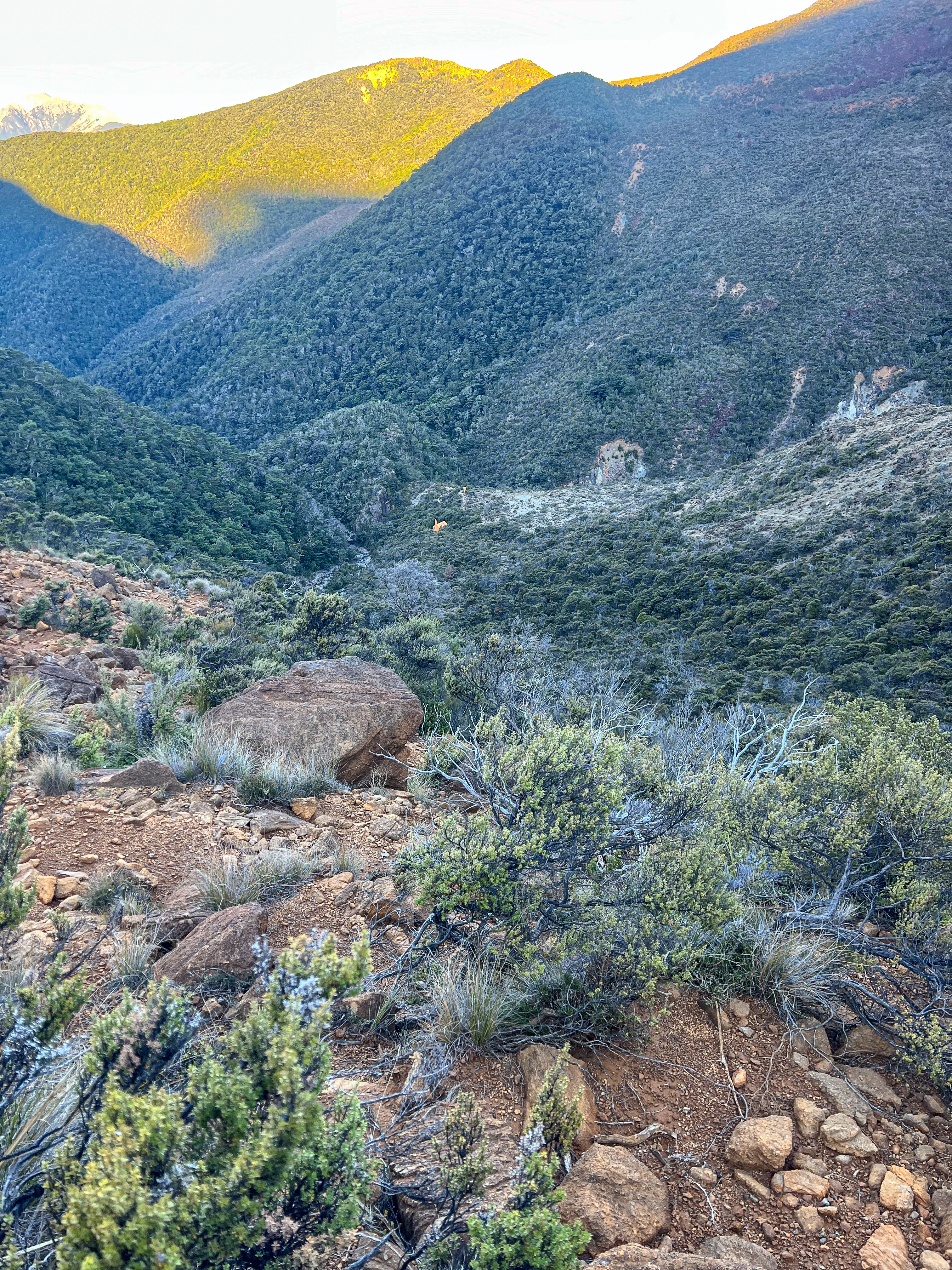
 |
| Climbing up the ridge towards Mt Ellis |
It was a long climb. The wind was blustery and at times strong enough to knock me sideways, so I was using both poles for support. It climbed up to just below Mt Ellis, then there was a very long sidle below the rocky outcrop to join another ridge line. I could see Hunters Hut the whole time!!
 |
| Upper Wairoa Hut, another 20 minutes of horrible descent to go |
 |
| So happy to have arrived.. |
It was an old, but cosy hut, and no-one else turned up. I was glad the family had chosen to just walk to Hunters Hut, that wind would have been pretty brutal on the kids, and no way would you want to negotiate those boulder fields in the dark. I was exhausted, so it was another early dinner and straight to bed.
Day 3 Top Wairoa Hut to Mid Wairoa Hut 7km, 5 hours
I had planned to tramp another big day so I got up before 6 and managed to get away about 7:15. First I had to negotiate a rather slippery scree slope down to the river, cross it, then follow the river downstream. My mates Renee and Billy had told me that this section was pretty wild, with lots of washouts, so I was prepared for another difficult day.
The route down river was mostly sidling along above the river until the way got bluffed out, which meant multiple crossings. I'm never keen to do dodgy rock hopping to save myself from getting wet feet, so I mostly waded across. The river was pretty low, but had some lovely pools and waterfalls.
My hydration plan for the morning was to drink a cup of water every time I crossed a stream or river. Subsequently I drank lots and had to stop to pee lots!! There was some easy walking in the forest but a lot of narrow sidling well above the river and a few ledges to climb up and around. Pretty hard to make good time and at times quite terrifying.
There were spectacular waterfalls and pools for swimming in, but the track was rarely at river level except where there was a crossing to the other side. I thought I was making okay time and then encountered a big tree fall. First I tried to climb through it as I couldn't see a track around it. That ended hilariously when I slipped and went for a fairly spectacular upside down number with one leg still dangling around a branch a la monkey bar. Only I'm not as flexible as I was when I was a kid!! I managed to extricate myself and then backed out and tried a different route a bit lower down and found evidence others had gone that way too.
Once back on the track it was another 30-40 minutes to Mid Wairoa Hut, sitting in a lovely sunny clearing.
After stopping to have lunch I decided to stay. I was tired, the sun was out, and there was a really nice big pool in the river for swimming in. For the last 3 days I had taken considerably longer than the advertised DOC times so although it said 4.5 hours to Tarn Hut I couldn't be sure it wasn't going to take considerably longer. I figured I could make Rintoul from Mid Wairoa in one day, then Slaty the following day, and still have a day up my sleeve. After checking my food supplies I realised I could manage for another 2 days extra should bad weather come in. I even checked the weather forecast on my Inreach and it looked good for the next couple of days.
Decision made I had a cup of tea and sat reading my Kindle in the sun, dodging sandflies. A young couple turned up having walked in from Wairoa roadend, scoping the river for kayaking or canyoning. After they left I went for a swim in the river, and laundered the smalls. The sun and wind did a good job of drying everything, and I congratulated myself on deciding to stop and rest at such a great location.
Late afternoon a chap named Kim turned up, having walked from Rintoul. It was good to compare notes and I felt even happier with my decision to have a half day.
Day 4 Mid Wairoa Hut to Tarn Hut 6.5km, 3:45 hours
Tarn Hut to Rintoul Hut 8km, 4:40 hours
I was up at about 5:30 am and left at 7, Kim leaving even earlier. I'm slow getting away in the morning, I think I enjoy that cup of coffee too much. It was a bit of a clamber to get onto the swing bridge across the river and then it was a steep climb up to about 700m when the climb just became steady, all the way up to the ridge line. There was a handy shortcut along a long sidle below Bushy Tops which knocked off a bit of altitude and then the track followed the ridge line all the way to the turn off to Tarn Hut.
 |
| Bishops Cap, the track sidles under it after following that ridge |
The ridge line had lots of rocky outcrops with stunted beech trees and a lot of wasps. These
European immigrants outcompete with native bees for the honeydew produced during late summer by a native scale insect that lives on beech trees, and can give you a very nasty sting. There were no bait stations up on the ridge and the wasps were plentiful, but only in the sunny spots, not in the forest below the ridge. Needless to say I didn't linger long anywhere I could see or hear the wasps, but I did take advantage of cell coverage to get an updated weather forecast. It was looking like cloudy conditions in two days, so I planned to get most of the alpine section done by then.
 |
| Tarn Hut |
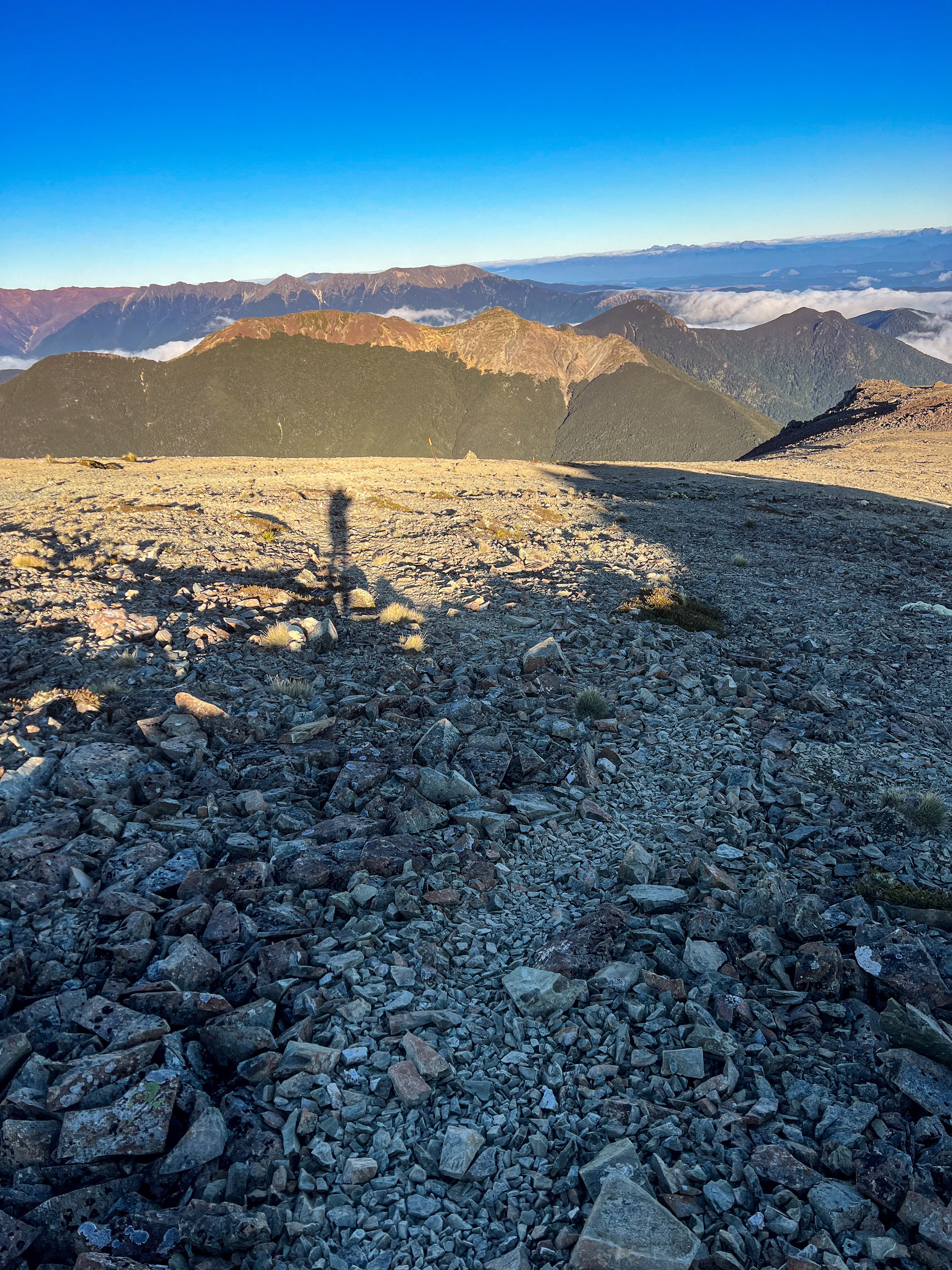
The ridge climbed steadily to Bishops Cap, where the track sidled well below the summit then joined another ridge up to Purple Top. I passed John, an American fast packing through, and heading out at Wairoa as he had a flight back to the North Island the next day. The final climb to Purple Top Saddle was over some scree and boulder slopes, with great views, including Rintoul Hut in the distance.
 |
| View of Rintoul from Purple Top |
I stopped on the saddle to enjoy the second half of my lunch then headed down. It was an easy scree sidling slope across to the next ridge line then a steep downhill, mostly in forest. My legs were feeling great though the final bit to the hut was a bit of a slog uphill.
John the American had told me that a local chap, Mark, was staying at hut. Both had walked over from Old Man Hut, but Mark had opted for a lazy half day. What I would have considered doing if the weather wasn't forecast to clag in the day after.
 |
| Sunset glow on Mt Rintoul |
 |
| Alpenglow and half moon |
Even though I'd tramped for over 8 hours, it was by far the easiest tramping day so far: nothing technical and good track through the forest. The Red Hills section had been much tougher, but tomorrow I would be crossing Mt Rintoul, the crux of the trip!
Day 5 Rintoul Hut to Old Man Hut 4.5km, 4:15 hours
Old Man Hut to Slaty Hut 10km, 4 hours
I don't know what Mark's problem was, but he got up so many times overnight going out and in of the hut and then at 4:30 he cooked his breakfast outside so as not to disturb me. I got up at 5 as his continuous disturbance meant I couldn't get back to sleep anyway. He left at 6, whereas I had a leisurely pack up and got to enjoy my coffee before leaving just after 7.
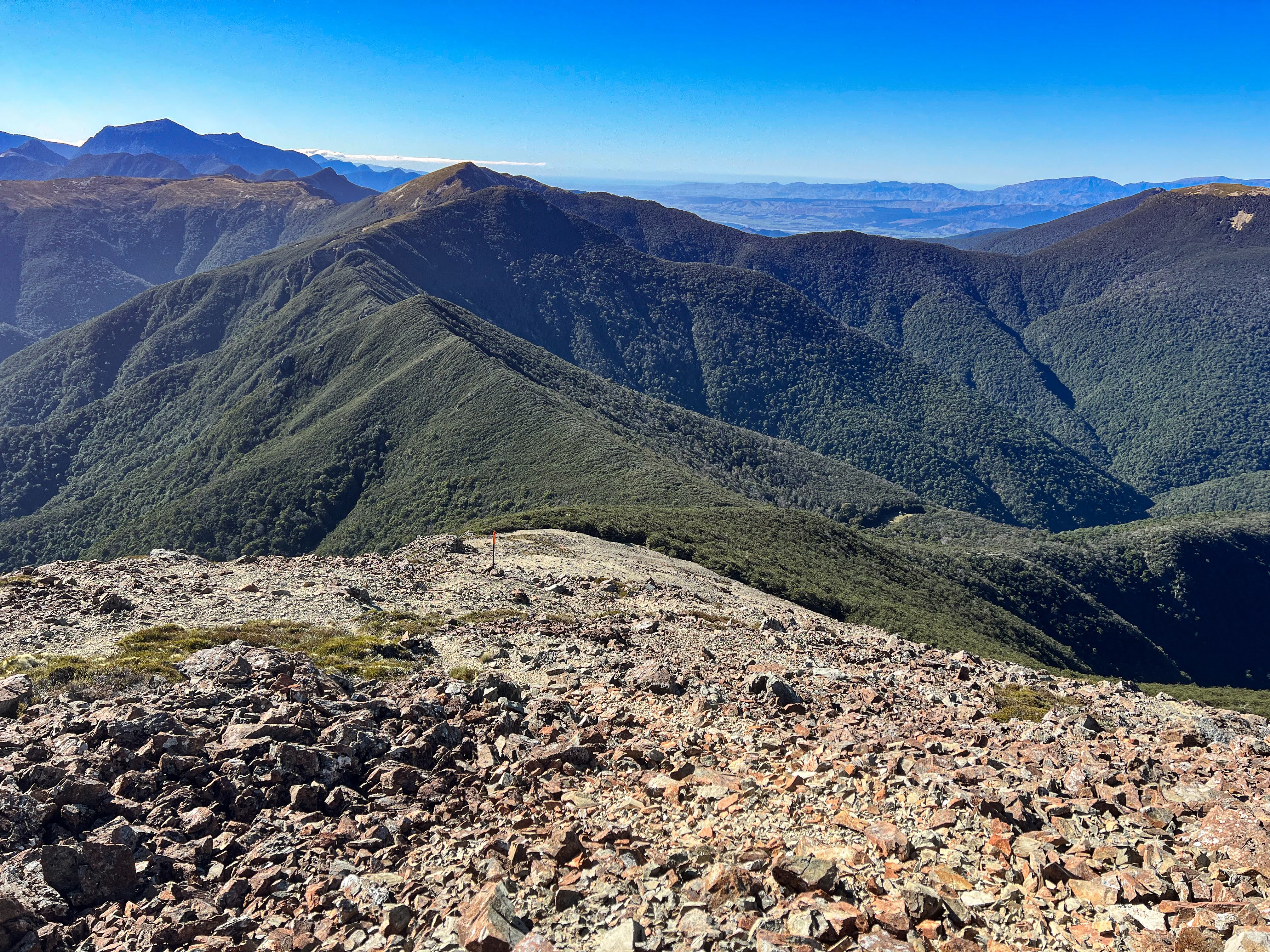
It was yet another stunning sunny day. The slog began straight away, first a steep climb through the forest, and then up crumbly scree. It wasn't very pleasant, and I found it slightly less slippery clambering up on the bigger rocks to the side of the main "track". Once up this scree slope there was a small section where you needed to climb down some rocks and then sidle across above a steep gut to gain the main Rintoul plateau. It was nowhere near as gnarly as I'd been led to believe.
 |
| Looking back up at Little Rintoul |
 |
| Continuing down to Old Man ridgeline, Hut in clearing to right of centre |
The detour to Old Man Hut involved a loss of 200m vertical, and a climb back up to the ridge again. Since I was making good time and hadn't found the Rintoul crossing too difficult, I knew I wouldn't bypass it, simply because I couldn't NOT bag it! So down I went on a steep track through the forest to another sunny clearing. I had enough water so I just had a big cupful to drink whilst there and took my shoes and socks off for 15 minutes whilst checking out the hut, signing the book and having a snack. Then back on with the boots and back up to the ridge. All up the detour took me over an hour: 15 minutes down, 30 minutes up and about 30 minutes chilling, but I had heaps of time, leaving the hut at 11:45am for Slaty.
 |
| Old Man Hut |
 |
| Rintoul in background |
When I had been up on Rintoul the wind had started to kick in but I was sheltered coming down from Little Rintoul. However once back on the main ridge the wind was quite strong but not as gusty as it had been on the crossing from Hunters. As I left the trees heading towards Old Man Peak it became quite exposed so I put my jacket on. I'd kept my gloves on all day.
The ridge walking was spectacular, views of the Southern Alps in one direction, Kahurangi and Tasman Bay the other. The wind was annoying but wasn't strong enough to knock me around so I could continue, though it was cold enough for me to put the hood up, and later to put my trousers on as well.
Day 6 Slaty Hut to Starveal Hut 5km, 2.5 hours
Starveal Hut to Hackett Hut 6km, 2 hours
Hackett Hut to Aniseed Valley Rd 7km, 1.5 hours
I woke up as daylight filtered in to the hut, and enjoyed a leisurely coffee. My Swedish friend was surprised that I was up so early, as I'd said I was sleeping in. He obviously wasn't used to the common practice of packing up in the dark and heading off at first light, or earlier!!
 |
| Slaty Hut |
As expected it was cloudy on the tops, coming in and out. The Swedish fellow set off a little before me and was immediately swallowed into the mist. I left about 8:30, not concerned about the cloud as I only had to get to Starveall Hut and then I would be descending off the alpine ridge into the forest. There was one more climb up to Mt Starveall before a gentle descent to the hut. By the time I got to the hut the sun was out and I'd left all those clouds behind.
My boots were buggered. I didn't get any more blisters after packing a little more hikers wool around my heel, but the sole has begun to come apart so it may be time to retire them. I've actually done more tramping in trail shoes than boots over the last few years, but the boots always come on the particularly rugged trips. And the terrain beats the shit out of them!
 |
| Looking worse for wear.... |
After a lovely evening enjoying dinner with Brendon's family and a friend, I headed off the next morning for a few days R and R camping by the beach in Tasman Bay. Brendon's daughter tested positive for Omicron two days later, but luckily I didn't catch it. I had some paddling to do.
That's next...


No comments:
Post a Comment